Like many software, SmartTomo is characterized by many updates that are marked by a number consisting of the year of release and the update identifier within that specific year (for example 2019.2 is the second update of the 2019 series). In addition to the numerical identifier, each annual release is also accompanied by a name, to be precise a toponym.
Version names represent a tribute to the places where SmartTomo was developed. Indeed, much of the mathematical procedures and code have been developed in the “hygge” atmosphere of a small mountain village in the upper Tanaro Valley in the heart of the Ligurian Alps.
SmartTomo 2018 – Mount Bertrand
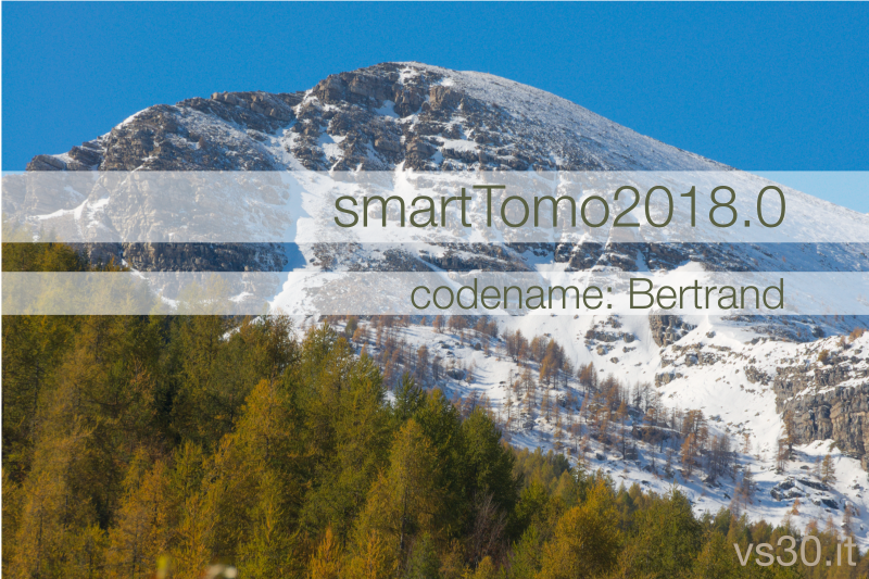
The 2018 version of SmartTomo is dedicated to Mount Bertrand (m. 2480). The mountain represents the highest peak of the municipality of Briga Alta and is located on the border between Italy and France. The photo was taken in autumn after the first snowfall of the season.
SmartTomo 2019 – Passo delle Fascette

The Gorge or Passo delle Fascette, to which the 2019 version is dedicated, is a narrow canyon carved into the limestone rock by one of the streams that will form the Tanaro river further downstream. The road you can see in the photo is cut into the rock in a steep sheer rock face and allows you to easily reach Upega.
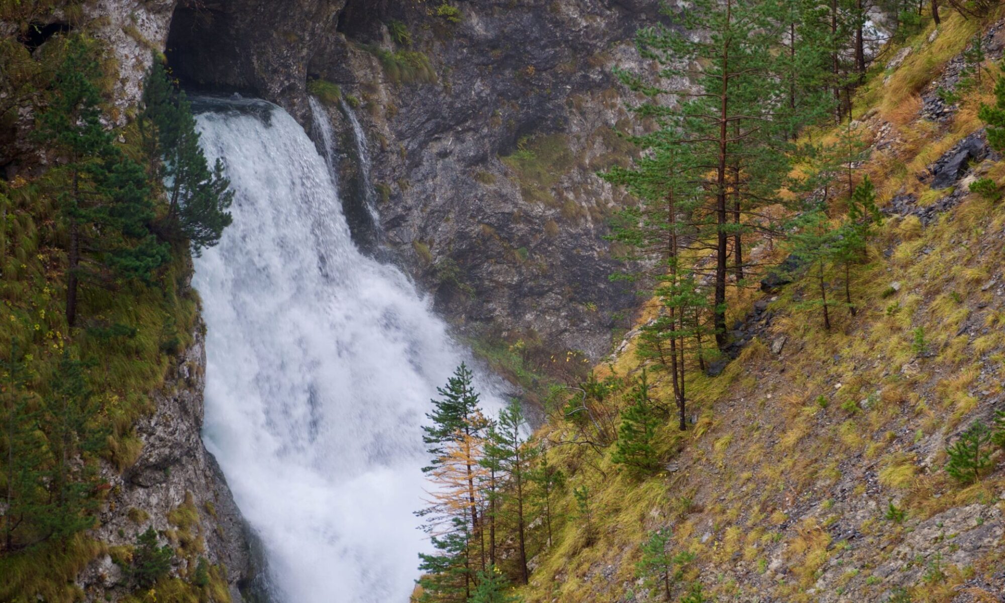
SmartTomo 2020 – Garb d’la Fus
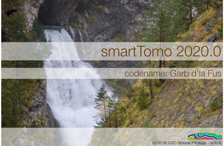
The Garb d’la Fus is a cave from which emerges the underground water circulation coming from the Marguarais massif through the karst complex of Piaggia Bella. During the thaw and after the most intense rains the flow increases forming an impetuous waterfall. This sight can be admired from the Gorge delle Fascette road.