A seismic survey was carried out to investigate the quality of the rocks under a secondary road with damage. The space for the seismic line was limited by the morphology of the slope.
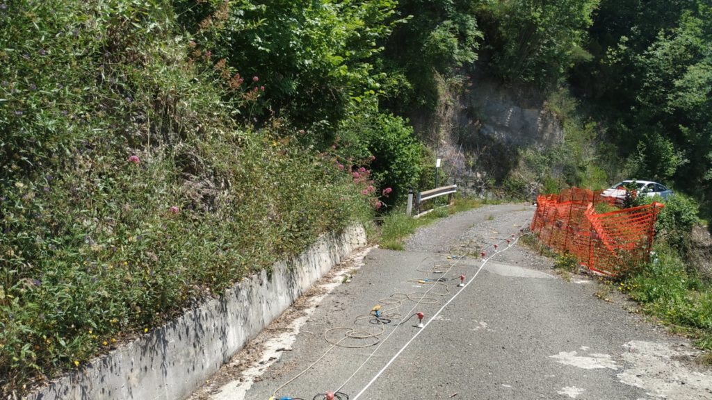
The device was deployed between two curves in the road trying to keep in the middle of the line the point of greatest damage. The geological survey revealed the presence of two rock types: on one side of the profile there is a massive limestone (higher seismic velocity) while at opposite end there is a cataclastic rock (slower seismic velocity). The picture above had been taken from the cataclastic side towards the limestone outcrop.
The tomographic profile clearly shows the limestone footwall dipping below the cataclastic rock.
