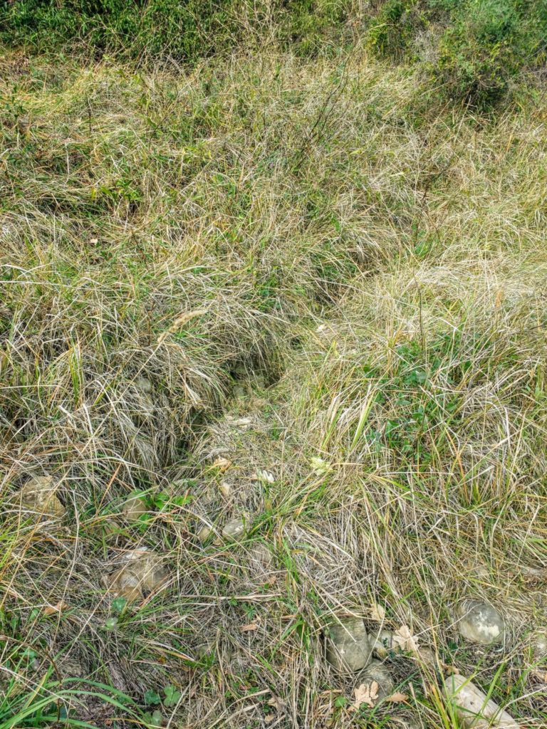
Following the rupture of an water pipeline, a landslide movement occurred in an area classified as highly susceptible to collapse. The event dislocated a retaining wall and created tension cracks in the ground. In order to define the geometry of the materials involved in the movement, a seismic survey was carried out using the technique of seismic refraction tomography and the MASW.
The site is characterized by flysh with a cover of silty colluvial soils with sand and gravel estimated in a few meters thick. The landslide movement apparently involves only the cover.
The seismic line has been realized transversely to the slope taking advantage of the little space available intersecting the tension fractures. An intergeophonic spacing of 2 meters and 4 energizations outside the line and 3 inside was used.
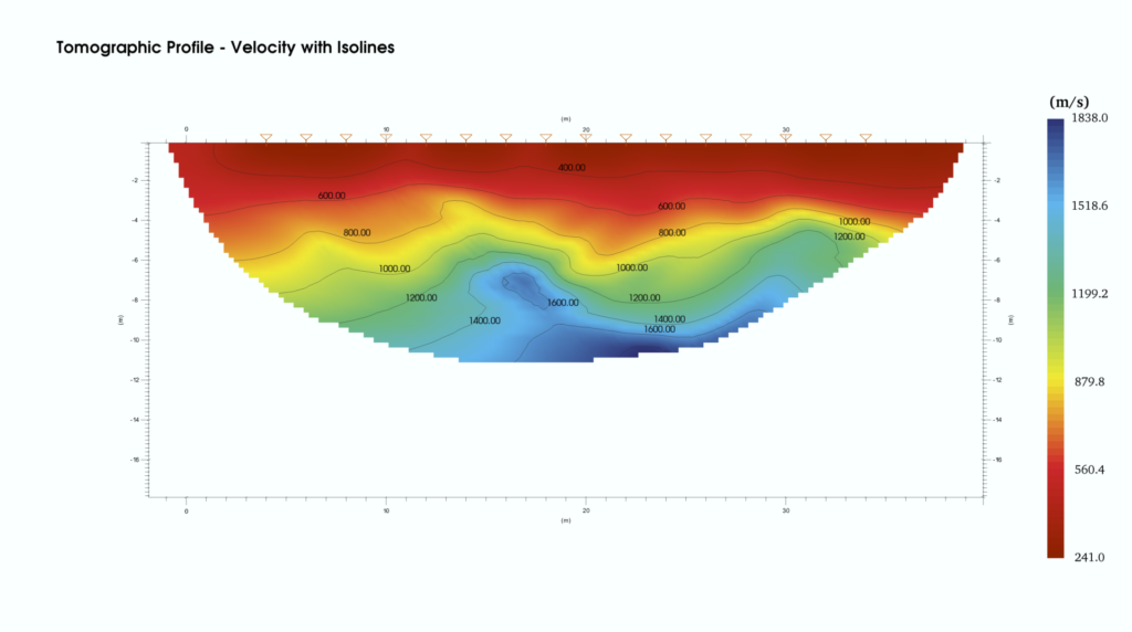
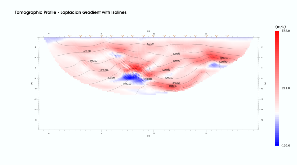
The tomographic profile shows a lateral variation in velocity at the tension fractures, highlighted by the undulation of the isolines at about 10 meters from the beginning of the profile. In depth, it can be assumed that the sliding surface is delimited at a depth of about 8 metres by the speed inversion also highlighted by the representation of the Laplacian gradient (local variation of speed with respect to the surrounding cells).